HUMAN SETTLEMENT IN THE DRY FOREST REGION
There is much human settlement throughout Fiji's dry forest region, which extends along the western coast of Viti Levu and Vanua Levu.
Due to less rain and a lower prevalence of tropical diseases, the drier sides of islands are generally more preferable than the wetter sides. Dry sides also tend to have richer soil for farming, as longer durations of rain can wash away soil nutrients on the wet sides.
Fiji's dry forest region is home to the country's second and third largest cities, Lautoka and Nadi (the largest being the capital city of Suva, on the moist western side of Viti Levu). Lautoka is known as the "Sugar City," as much of its economic activity revolves around sugar production; it has a population of 52,200. Nadi also engages in sugar production and has a population of 42,284.
Major Fijian industries include forestry, mining, fishing, agriculture (mainly sugarcane, which accounts for 70% of total labor force) and tourism.
(CIA World Factbook)
Flag of Fiji
(CIA World Factbook)
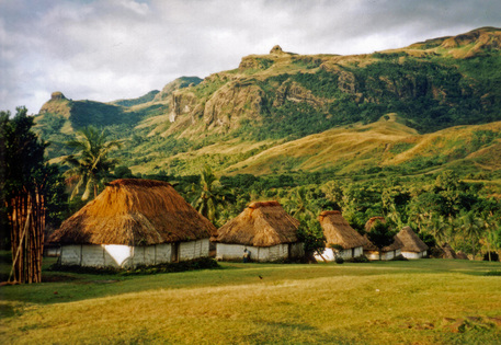
Village of Navala, Nausori Highlands, Viti Levu (Wikipedia)
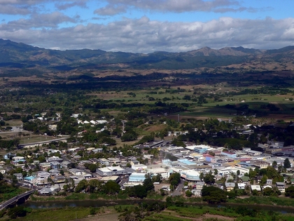
Nadi, Viti Levu (Wikipedia)
Nadi International Airport
Nadi is home to Nadi International Airport, the main gateway in and out of the country. It connects Fiji to major cities such as Los Angeles, Seoul, Sydney, Hong Kong, Auckland, and Honolulu as well as smaller Oceanian cities such as Port Moresby, Apia, Nuku'alofa, and Tarawa.
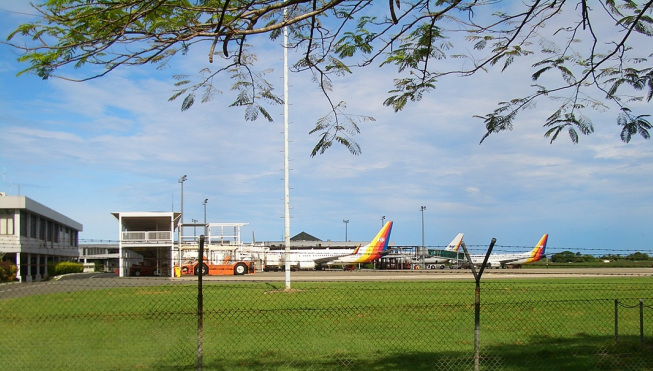
Air Pacific terminal (Wikipedia)
Sugarcane Fields
Lautoka is one of the country's main sugarcane cultivation and processing centers.
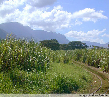
Field on the outskirts of Lautoka
Back to the Top
Sources
CIA World Factbook. (2011). Fiji. Retrieved from <https://www.cia.gov/library/publications/the-world-factbook/geos/fj.html>
Fiji Sugar Cane Growers Council. (2011). Retrieve from <http://www.scgcfiji.com/index.html>
Fiji 2007 Census. Retried from <http://www.statsfiji.gov.fj/Census2007/census07_index2.htm>
